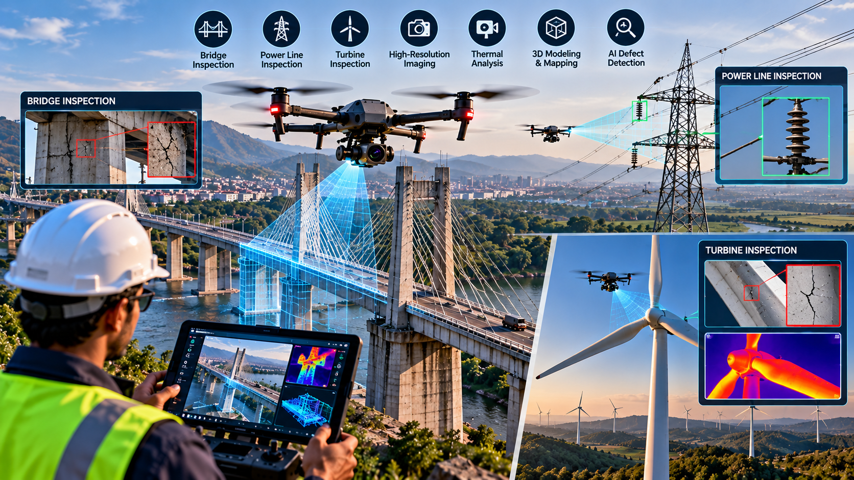
Drone Inspection: From Access Problem to Data Problem
A bridge inspector does not necessarily need to climb to the underside of a bridge to see a crack anymore. In many cases, a drone can fly close to the structure and bring a high-resolution camera to the problem.
That does not make the human inspector unnecessary. Instead, it changes where the person spends time: less time gaining physical access and more time interpreting evidence.
The U.S. Federal Highway Administration says drones can supplement portions of bridge inspections and can reduce the time inspectors spend using access equipment or working near live traffic. But it also explicitly notes that drones cannot perform every inspection task, including tactile examinations such as sounding or hammering structural members.
Seeing Difficult Places From a Safer Distance
The attraction is straightforward. Bridges, transmission towers and wind turbines contain areas that can be difficult or hazardous to reach.
A drone can carry a camera close to an underside, tower, conductor or turbine blade while the operator remains on the ground. High-resolution imagery can then be reviewed later rather than relying entirely on what an inspector can see during a short physical inspection.
For bridge inspection, FHWA research describes how high-resolution drone imagery can support inspection reports, 3D reconstruction and identification of surface defects such as cracks.
The data can also become a historical record. Repeated surveys can make it easier to compare an asset's condition over time—provided the images are collected consistently enough to make meaningful comparisons.
Power Lines and Turbines Need Different Sensors
A drone's value depends heavily on what it carries.
For a bridge, a high-resolution RGB camera may be the primary sensor. Thermal cameras or other payloads can add information in specialised applications.
Power-line inspection can involve looking for physical damage, vegetation interference or other abnormalities. India's power sector has already formally recognised UAV use: the Central Electricity Authority's 2022 regulations provide for UAV use in construction and inspection of transmission assets in difficult and inaccessible terrain. The Indian government has also reported drone use for inspection of power transmission lines and other infrastructure.
Wind turbines create another demanding inspection problem. Their blades are enormous composite structures, often located in remote areas. The U.S. Department of Energy notes that drones can identify visible blade damage, but conventional aerial imaging cannot necessarily reveal hidden or subsurface defects. More specialised technologies, including ultrasonic inspection, may therefore still be required.
Batteries, Wind and Weather Still Set the Limits
A drone may be able to reach a difficult location, but it cannot stay there indefinitely.
Battery endurance limits the amount of inspection that can be completed on one flight. FHWA guidance for bridge inspections notes that flight times of roughly 20–30 minutes were a practical planning consideration for the systems discussed in its technical brief.
Weather adds another constraint. Wind around bridges or tall structures can be turbulent, while rain, poor visibility and strong gusts can affect flight safety and image quality. An FHWA example involving the Tobin Bridge noted the need for a stable UAS because winds around the bridge could buffet smaller aircraft.
The inspection payload creates another trade-off. A larger camera, thermal sensor or other instrument can improve data collection but adds weight and consumes power.
The Hardest Part May Be Interpreting the Images
Collecting thousands of photographs is not the same as proving that an asset is safe.
Computer vision can help identify patterns and flag possible defects, but image analysis has limits. FHWA notes that automatic crack-detection systems require significant expertise and training.
That distinction is especially important for safety-critical structures. A software system might highlight a suspicious region, but an engineer still has to determine whether it represents a genuine defect, how serious it is and whether another inspection method is required.
India's CSIR-Central Road Research Institute is pursuing this broader approach. Its VInSD Aerial Inspection Unit combines a drone with testing technologies intended to support bridge assessment, including ultrasonic pulse velocity and accelerometer measurements. The project is being presented for commercialisation rather than as evidence that every bridge can already be inspected completely by drone.
The emerging model, therefore, is not drone instead of inspector. It is drone plus sensors plus data processing plus human verification.
That distinction matters. Drones can reduce exposure to traffic, heights and difficult access while producing a richer digital record. But weather can stop a flight, batteries limit endurance, sensors cannot see every type of damage, regulations constrain operations, and automated analysis still needs validation.
The most useful inspection drone is therefore not simply the one with the best camera. It is the one that produces reliable evidence that an engineer can trust and act upon.