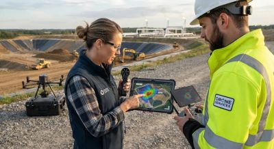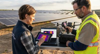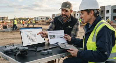
Students don't need an expensive quadcopter or a pilot license to build a strong aerial project for class or a portfolio. Buying hardware means high upfront costs, battery upkeep and airspace compliance headaches. Under the rules managed on the DGCA Digital Sky Platform, flying drones also needs proper aircraft registration and pilot certification. That's a lot of money and hassle for a short school assignment. If you use properly licensed sample footage or public datasets, you can focus on storytelling, data analysis or computer vision, and your costs stay close to zero. It saves hundreds of dollars and keeps you away from tricky legal problems.
Finding Properly Licensed Sample Footage and Datasets
Always check the license terms before you download aerial videos, orthomosaics or point clouds for coursework or public sharing. Look for open-access datasets, Creative Commons licenses that allow educational or non-commercial use, or university repositories with clear permissions. One downside of public data is the time it takes to filter out low-quality files, since you can't control the camera path or the conditions when it was captured. Check whether the license needs attribution, bans commercial reuse, or limits edits. Don't grab random clips from social media without clear rights. Following the US Copyright Office guidance, respecting the creator's license terms keeps your academic work protected and your public showcase legal.
Choosing Technical Specs for Analysis or Storytelling
Pick sample files that fit your project goal and your computer's power. If you don't have a high-end workstation, a compressed 1080p MP4 or MOV video is much easier to handle than huge uncompressed 4K footage. For storytelling, check the clip resolution, frame rates like 30 or 60 frames per second, H.264 or H.265 codecs, and whether the media uses standard Rec. 709 or flat log color profiles. For mapping or change detection, look at the ground sampling distance, camera sensor resolution, overlap percentage and embedded EXIF GPS tags. Big multi-gigabyte mapping datasets can overload a basic student laptop. You can use free cloud-based processing platforms or cut the data into smaller image tiles to save storage space and processing time.
Labeling Sources Clearly Without Implying You Flew
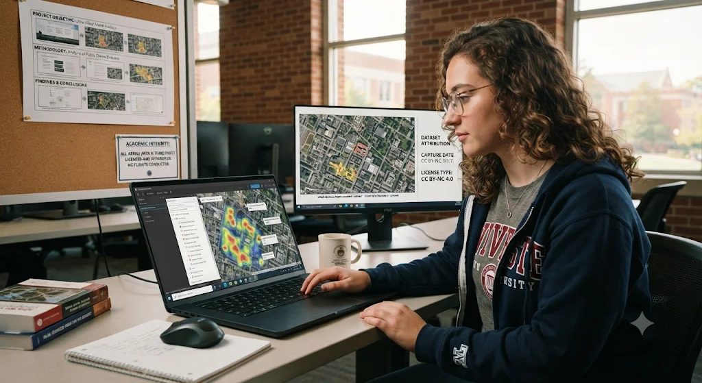
Academic integrity and trust depend on stating exactly where your data came from, right at the start. Never write things like "my flight over the site" or suggest you piloted the aircraft when you only analyzed someone else's files. That makes your portfolio misleading and goes against ethical research rules. Instead, put a clear source note on every slide, video credit or report caption: "Aerial imagery sourced from [Dataset/Creator Name] under [License Type]; analyzed and edited by [Student Name], flight not operated by author." Include the original creator or dataset name, the capture date if it's given, the license type, and any cropping, color grading or model thresholds you used.
Presenting Your Completed Student Project
Build your final report or presentation around what you actually did and showed. Explain the question you looked into, the technical details of the sample files you picked, and the analysis or editing steps you carried out. Point out any data limits, like lighting changes, perspective distortion or missing metadata in the source files. Comparing the trade-offs between different open-source data platforms will add good depth to your project. Showing how you solved problems with third-party datasets proves you have strong critical thinking and data management skills.