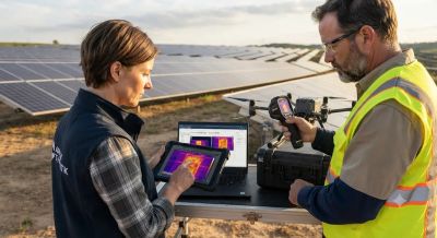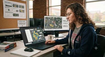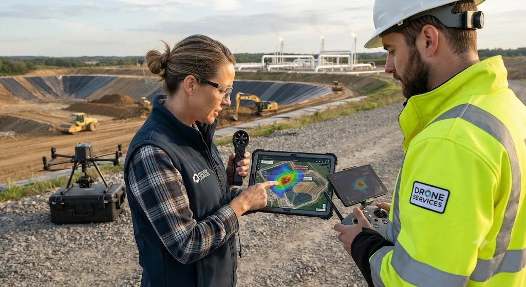
Yes, specialized drones can find methane leaks across big landfill sites much faster than crews walking around with handheld sniffers. Landfill operators now mount small gas sensors on multirotor drones to scan steep slopes, active working areas and gas collection wells without putting workers at risk. Aerial surveys spot high gas levels quickly, but turning raw readings into an exact leak location takes careful sensor calibration, precise flight planning and wind modeling.
How Drone Sensors Measure Methane in the Air
Drones usually measure methane with Tunable Diode Laser Absorption Spectroscopy (TDLAS) or compact cavity-enhanced optical analyzers. Open-path TDLAS sensors fire an infrared laser, tuned to methane's absorption band near 1.65 micrometers, down toward the ground and measure how much light bounces back to the detector. These fast instruments work out the path-integrated concentration in parts per million-meter (ppm·m), usually at 10 to 20 readings per second. That lets operators collect dense, continuous readings while the drone is moving.
Choosing between open-path downward lasers and closed-cell extractive sniffers involves some trade-offs. Open-path sensors scan wide strips of ground quickly without waiting for air pumps, but dark wet soil or standing leachate ponds absorb the laser and can weaken the returning signal. Closed-cell point sensors pull air in through a tube and log exact parts-per-million values at flight height. They cover less area, but they are more sensitive in places that reflect little light.
Why Wind Makes Source Tracing Difficult
Spotting a methane plume in mid-air is much easier than tracing it back to one crack in a landfill cap. Once methane escapes through soil cracks or damaged wellheads, turbulent winds stretch it out, dilute it and push it downwind, away from where it started. EPA field studies and NOAA atmospheric research show that a drone flying at normal survey heights of 15 to 30 meters often picks up its peak gas readings tens of meters away from the real source on the surface.
Changing wind speed and rotor downwash make things harder. Gusts shift the plume's direction mid-flight, and the spinning propellers push air downward and mix gas pockets near the sensor. Environmental protection standards and atmospheric modeling research suggest flying in steady, moderate wind, usually 2 to 6 meters per second, so the plume stays consistent and trackable without too much turbulence or scattering.
Combining Plume Data with Wind Models to Pinpoint Leaks
To find the true ground source, operators combine geo-tagged methane readings with real-time wind data and Gaussian plume or back-trajectory dispersion models. Pilots fly paths across the plume, perpendicular to the wind and downwind of the source, at several heights to map its cross-section and calculate the total emission rate in kilograms per hour. Software then traces the concentration gradient back upwind and narrows the search area to a few square meters. After that, ground crews with optical gas imaging cameras or surface flux chambers can confirm and seal the exact leak.
Meeting Aviation and Site Safety Requirements
Before flying over a landfill or a commercial solar array, pilots need valid remote pilot credentials, such as FAA Part 107 certification in the United States or Digital Sky authorization in India, plus local airspace clearance. Operators also have to coordinate with plant managers to follow site lockout rules, keep a safe distance from active gas flares, high-voltage inverters and heavy machinery, and maintain visual line of sight during the whole mission.