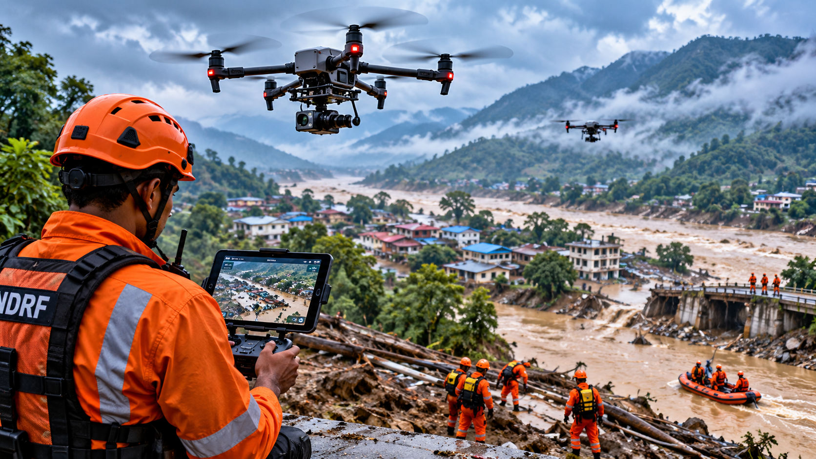
During a flood or landslide, the first problem is often not a lack of information but a lack of safe access. Roads may be submerged, bridges damaged and slopes unstable. A drone can cross some of those gaps without putting a rescue team immediately into the affected area. Its most useful role is therefore not to replace responders, but to give them a faster view of places they cannot easily reach.
Floods: seeing the extent of the problem
A drone can capture overlapping aerial images that show which roads, buildings, fields and bridges are inundated. Repeated flights can also document how the affected area changes. For response teams, this can help with route planning, prioritising inspections and identifying locations that need closer assessment.
India already uses remote sensing for disaster monitoring, while the Central Water Commission and other agencies provide flood forecasting and warning information. Drones add a lower-altitude, local layer of observation that can complement—not replace—satellite imagery, forecasts and ground reports.
Landslides: mapping unstable terrain
After heavy rain or a landslide, a drone can survey scarps, blocked roads, damaged slopes and debris fields from a safer distance. Photogrammetry can create a 3D surface model, allowing teams to compare terrain before and after an event when suitable baseline data exists.
The limitation is weather and terrain. Strong winds, rain, poor visibility and unstable take-off areas can prevent flights. A drone cannot make a slope safe; it can only collect information about a hazard when operating conditions allow.
Search and rescue: live eyes above the scene
India’s 2026 drone ecosystem backgrounder describes a NECTAR-developed disaster drone system designed to remain stable for extended periods and carry heavier equipment. The system is used to watch affected areas during floods, landslides and other disasters, with live aerial visuals intended to help rescue teams understand conditions and coordinate search and rescue.
Thermal cameras can add another capability at night or where heat differences help distinguish people or equipment from the surrounding environment. But thermal imagery is not a magic people detector: vegetation, weather, distance, sensor quality and background temperatures all affect what the camera can reveal.
Damage assessment can happen before full access is restored
Once an emergency phase begins to shift toward recovery, drones can document damaged roofs, roads, embankments, bridges, crops and public infrastructure. Georeferenced imagery can give engineers and administrators a consistent record of what was observed at a particular time.
The value increases when the imagery can be compared with pre-disaster data. Without a baseline, a photograph may show damage but make it harder to quantify what changed. That is one reason routine mapping and infrastructure surveys can become useful disaster-preparedness assets as well.
Communication is the difficult part
A drone may have a clear view of a disaster zone while the operator has a weak or unavailable network connection. This matters for live video, telemetry, remote commands and cloud-based workflows. India has continued strengthening disaster communications; in 2026 the government launched a nationwide Cell Broadcast System, while telecom agencies have used emergency measures such as intra-circle roaming during flood and landslide disruptions.
For drones, that means missions should not assume perfect connectivity. Operators need defined return-to-home or landing behaviour, local recording where appropriate, trained crews and coordination with the incident command structure.
The drone works best as one layer of a response system
Disaster response still depends on people, vehicles, boats, helicopters, satellites, weather information, communications and local knowledge. Drones can make the information layer faster and more detailed, but they have limits in endurance, payload, weather tolerance, airspace coordination and battery life.
The practical opportunity for India is therefore less about sending drones everywhere and more about integrating them into standard response procedures: pre-defined flight teams, trained pilots, equipment suited to the hazard, secure data handling and clear rules for turning aerial observations into decisions. That is where drone technology can become a useful emergency tool rather than just another camera in the sky.