How photographs become a 3D map
A drone photograph can show what a construction site looks like. A properly processed drone survey can tell you how much earth has moved, how high a structure is and how the site has changed.
That difference is turning drones into surveying tools rather than simply flying cameras.
Across India, unmanned aircraft are being used to collect high-resolution geospatial data for mapping, infrastructure planning, mining and urban applications. Government organisations such as the North Eastern Space Applications Centre (NESAC) already use UAV-based surveys for mapping, urban modelling and terrain analysis.
From photographs to a 3D model
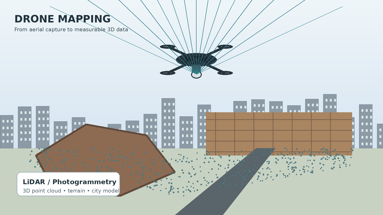
One of the most widely used techniques is photogrammetry. The drone flies a planned route while taking photographs with substantial overlap. Software identifies the same features in multiple photographs and uses their different viewing angles to calculate their position in three dimensions.
The result can be a point cloud, where thousands or millions of points represent surfaces and objects. Those points can be processed into an orthomosaic, a geometrically corrected map made from many photographs, or a digital surface model (DSM) showing elevation.
NESAC lists applications including DSM/DTM generation, orthophoto production, contour generation, volume estimation and 3D city modelling. This is why drone mapping differs from ordinary aerial photography: the processed dataset can be measured and analysed.
Where LiDAR fits in
LiDAR, or Light Detection and Ranging, uses laser pulses. A sensor sends pulses towards the ground or surrounding objects and measures the return time. The measurements can be assembled into a three-dimensional point cloud.
India's Indian Institute of Remote Sensing lists UAV remote sensing and LiDAR among its specialist areas, including topographic information extraction and 3D modelling. Survey of India has also described drone-based 3D city models and drone-based terrain surveys using LiDAR in its geospatial services framework.
LiDAR does not replace photogrammetry everywhere. It adds capability where detailed three-dimensional measurements are important, but the equipment and processing can also add cost.
Mines and construction are practical use cases
Mining provides a clear example because large open-cast mines are difficult to survey repeatedly from the ground. Mahanadi Coalfields Limited introduced its VIHANGAM drone system at Talcher mines for environmental monitoring, volume measurement and photogrammetric mapping.
Construction offers a similar workflow. A drone can survey a site before work begins and repeat the survey as construction progresses. Comparing datasets can show changes in terrain, excavation and structures.
The technology has limits. Good results depend on flight planning, image overlap, positioning accuracy and processing quality. Vegetation, reflective surfaces, poor lighting and difficult terrain can affect results.
From 3D maps to digital twins
A drone-generated 3D model should not automatically be called a digital twin. A 3D model represents an asset or environment. A digital twin generally goes further by connecting that representation with information about the real-world asset, its condition or changes over time.
The larger shift is that drones are becoming data-collection platforms. India's geospatial ecosystem already recognises UAVs, photogrammetry and LiDAR as tools for producing location-based information.
As these systems become easier to deploy and process, the drone increasingly becomes just the first step. The valuable product is the digital map, measurement or 3D model produced from the flight. That shift—from seeing a site from above to measuring and modelling it from above—is one way India's drone industry is moving into more specialised work.