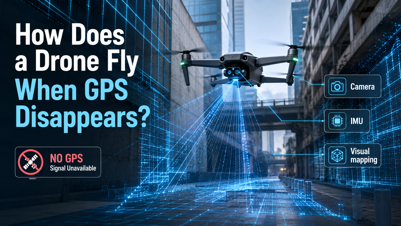
Modern drones have become so closely associated with GPS that removing satellite navigation sounds rather like taking the steering wheel out of a car.
Yet drones increasingly fly inside warehouses, beneath bridges, around buildings and through environments where GPS is weak, blocked, reflected or intentionally unavailable.
They do it by answering a surprisingly human question:
If I cannot ask a satellite where I am, what can I see around me?
GPS is useful, not magical
Outdoors, satellite navigation gives a drone an extremely convenient estimate of its position.
But radio signals from navigation satellites arrive at Earth exceptionally weak. Buildings can block or reflect them. Indoor environments may provide little useful reception. Dense structures, tunnels and other environments create similar problems.
So autonomous drones increasingly combine several other sensors.
A typical system may use cameras, an inertial measurement unit containing accelerometers and gyroscopes, altitude sensors and sometimes lidar or other depth sensors.
The drone then fuses those measurements into an estimate of its own motion.
This is where visual-inertial odometry, or VIO, enters the story.
Your drone becomes a detective
Imagine a camera sees the corner of a window in one frame. A fraction of a second later, that corner has shifted left.
Perhaps the window moved.
More usefully, perhaps the drone moved right.
Computer vision tracks many visual features across successive frames while an IMU independently measures rotation and acceleration. Combine the two and the aircraft can estimate how it is moving through space.
Some systems go further using SLAM — simultaneous localisation and mapping. The machine effectively constructs a map while simultaneously estimating where it sits within that map.
It sounds circular because it is. Robotics contains several enormously useful ideas that initially sound like somebody has misplaced Step One.
Commercial systems already use these techniques. Skydio documents the ability of its X10D platform to switch from GPS to visual-inertial navigation and operate in GPS-denied environments.
Why this matters
GPS-independent navigation changes where drones can operate.
Infrastructure inspection is an obvious example. A drone capable of navigating around the interior of an industrial facility, beneath a bridge or around complicated structures can collect imagery without a pilot manually making every tiny correction.
The same underlying technologies matter to warehouse robots, autonomous vehicles and planetary exploration.
More importantly, navigation and obstacle avoidance can be performed locally aboard the aircraft. There is no requirement for somebody on the ground to continuously say “left a little, right a little, please avoid the expensive pipe.”
That is the distinction between a remotely controlled flying camera and a genuinely autonomous aerial robot.
Vision has its own ways of getting confused
There is, however, no universal navigation superpower.
Computer vision needs useful visual information.
Fly over a featureless surface and there may be few points to track. Fly very high and ground features become less useful. Darkness creates another challenge unless the aircraft has suitable sensors or illumination.
Skydio's own documentation warns that visual-inertial navigation can degrade at altitude and under poor lighting conditions, while older support documentation notes difficulties over large bodies of water where visual positioning becomes harder.
Dust, fog, rapidly changing lighting and repetitive patterns can create additional headaches.
That is why robust autonomy generally relies on sensor fusion, not blind faith in one sensor.
GPS may contribute an absolute position. Cameras estimate movement relative to the environment. An IMU provides rapid motion measurements. Other sensors can add altitude or depth.
Each is imperfect.
Together, they can be surprisingly competent.
The interesting future of drones is therefore not simply longer battery life or better cameras. It is aircraft that understand enough about their surroundings to continue operating when one of their favourite sources of information disappears.
The best autonomous drone may know where it is.
The better one also knows when it isn't entirely sure.