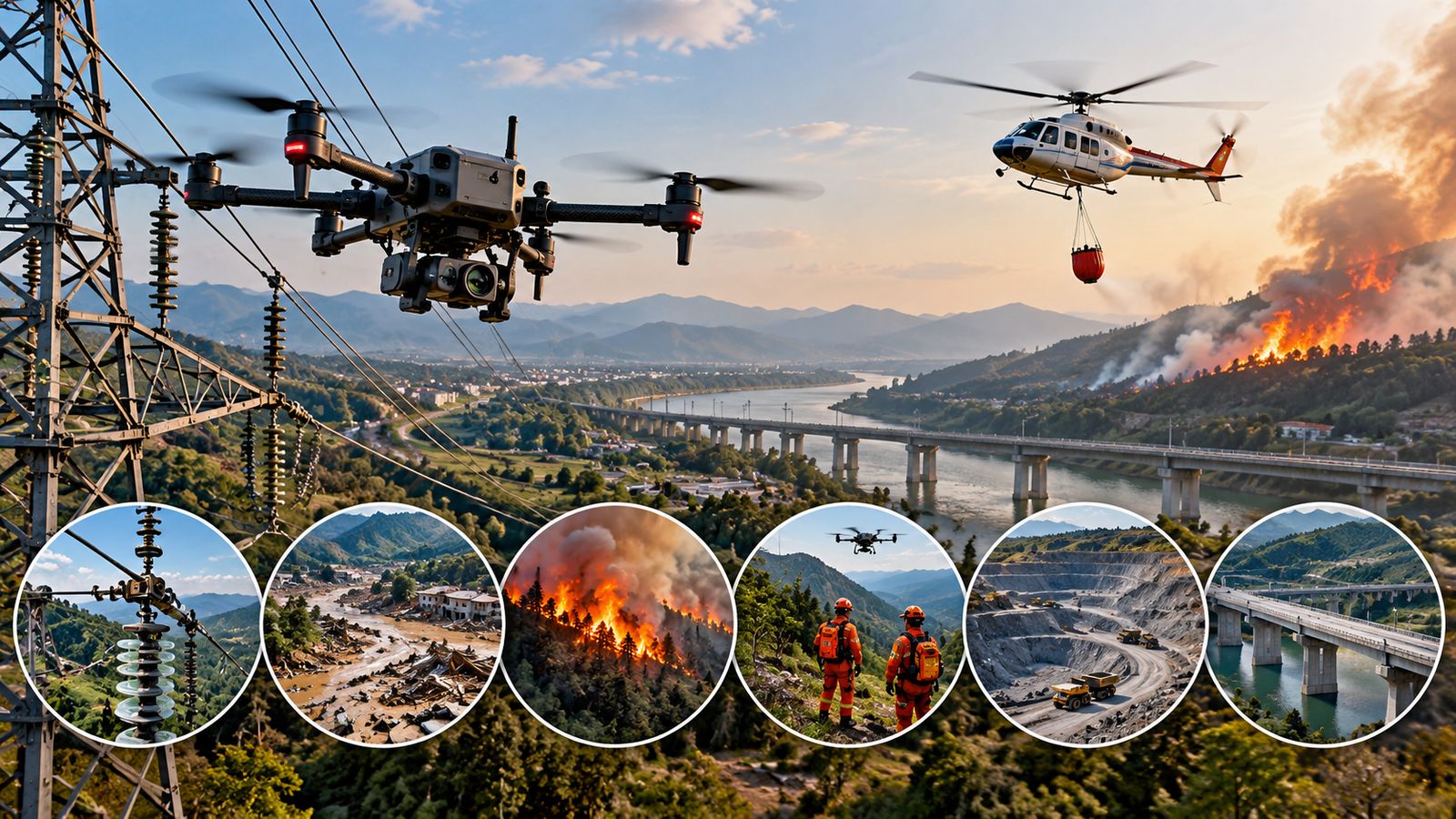
The two aircraft solve different problems
A drone and a helicopter can both put a camera above a difficult site, but they do not provide the same kind of aerial capability. A multirotor drone can be launched by a small crew, hover close to a structure and collect detailed imagery without putting a pilot or inspector in the aircraft. A helicopter carries people and much larger payloads, covers distance quickly and can remain part of a larger rescue or firefighting operation.
The useful comparison is whether the mission requires a close look at an asset, a person to be transported, heavy equipment, long-range coverage or sustained aerial support.
Power lines and infrastructure: where drones fit well
Power-line inspection is one of the clearest cases for drones. A camera-equipped aircraft can fly along towers and conductors, capturing high-resolution images and, with suitable sensors, thermal data. POWERGRID says it is using drone-based aerial patrolling and developing programmable drones with thermal and video sensors plus AI/ML analytics for transmission-line inspection. Its technical material also notes that drone inspection can reduce the need for tower climbing.
Helicopters still have a role when inspectors need a crew onboard, a larger sensor package, rapid movement between widely separated assets or other aviation support. Drones are therefore another inspection platform rather than a universal replacement.
Disaster response and firefighting change the equation
During disasters, drones can quickly provide overhead imagery of damaged roads, bridges, buildings and flood-affected areas. They can also operate close to hazards without placing a crew inside the aircraft. USGS describes UAS as a flexible way to collect timely, high-resolution data while reducing personnel exposure to dangerous locations. The FAA says UAS can support wildfire hotspot detection, fire-perimeter mapping and infrastructure-damage assessment.
But firefighting itself can demand capabilities that small drones do not have. A helicopter can carry firefighters or rescue equipment, transport water or other loads, and support evacuation. A drone may provide the information that helps crews decide where to go, while the helicopter performs the physically demanding part of the mission.
Search and rescue depends on what must be delivered
For search, a drone can scan a large area with an optical or thermal camera and give rescuers a live view without immediately exposing a crew to cliffs, floodwater or unstable terrain. This is useful when the first requirement is locating a person or assessing access routes.
If the mission becomes extraction, the helicopter ability to carry people changes the calculation. Helicopters can also operate beyond the practical endurance and communication limits of many small drones. Weather, terrain, airspace coordination and other aircraft can constrain both platforms.
Mining and surveys: drones often have a measurement advantage
Mining and infrastructure surveys are another strong drone use case. A drone can repeatedly collect overlapping images or LiDAR data to create orthomosaics, elevation models and measurements without sending surveyors into every part of a site. USGS has documented UAS use for mine mapping with RGB imagery and LiDAR, including terrain models and contour maps.
The practical lesson is that drones are strongest when the job is to inspect, map, measure or monitor. Helicopters remain important when the mission requires people, heavy payloads, rapid long-distance movement or direct intervention. In many operations, the two aircraft can complement each other rather than compete for the same task.