Can Drones Replace Helicopters for Inspection and Emergency Work?
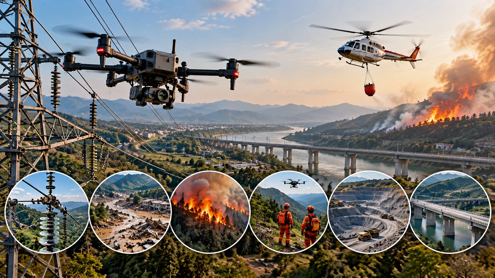
Compare drones and helicopters in power-line inspection, disaster response, firefighting, search and rescue, mining and infrastructure surveys.
Tracking the latest breakthroughs, research, and deep-tech innovations.
Compare drones and helicopters in power-line inspection, disaster response, firefighting, search and rescue, mining and infrastructure surveys.
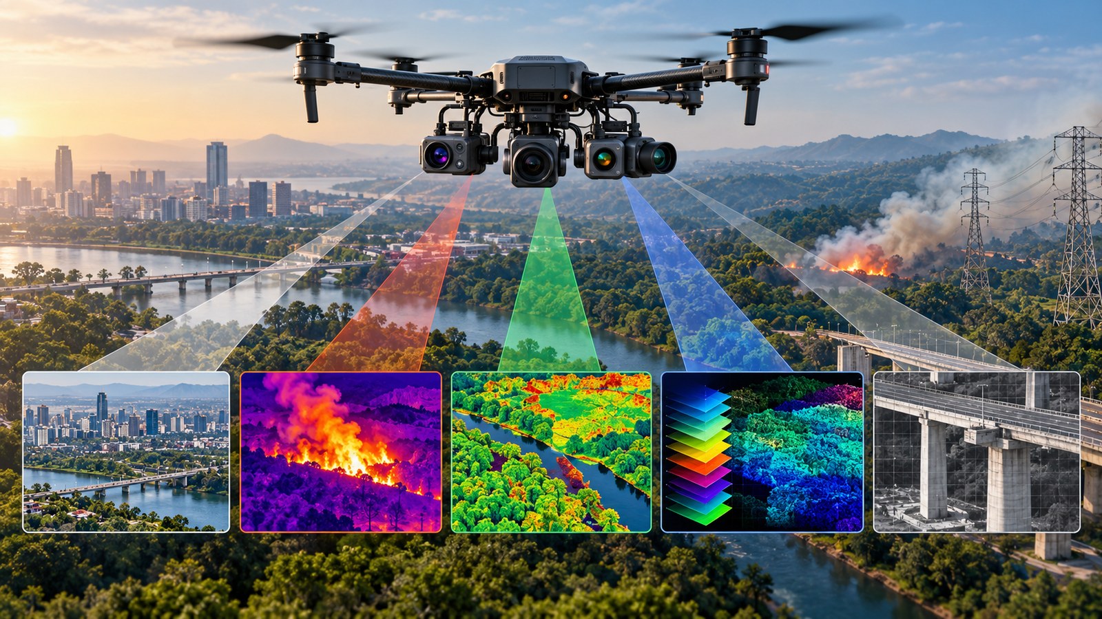
RGB, thermal, multispectral, hyperspectral and zoom cameras give drones different ways to detect heat, vegetation patterns, materials and distant details.
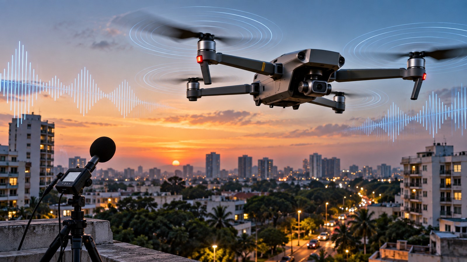
A comprehensive overview of Why Drone Noise Is Becoming a Serious Design Problem detailing architecture, practical implications, and key insights.
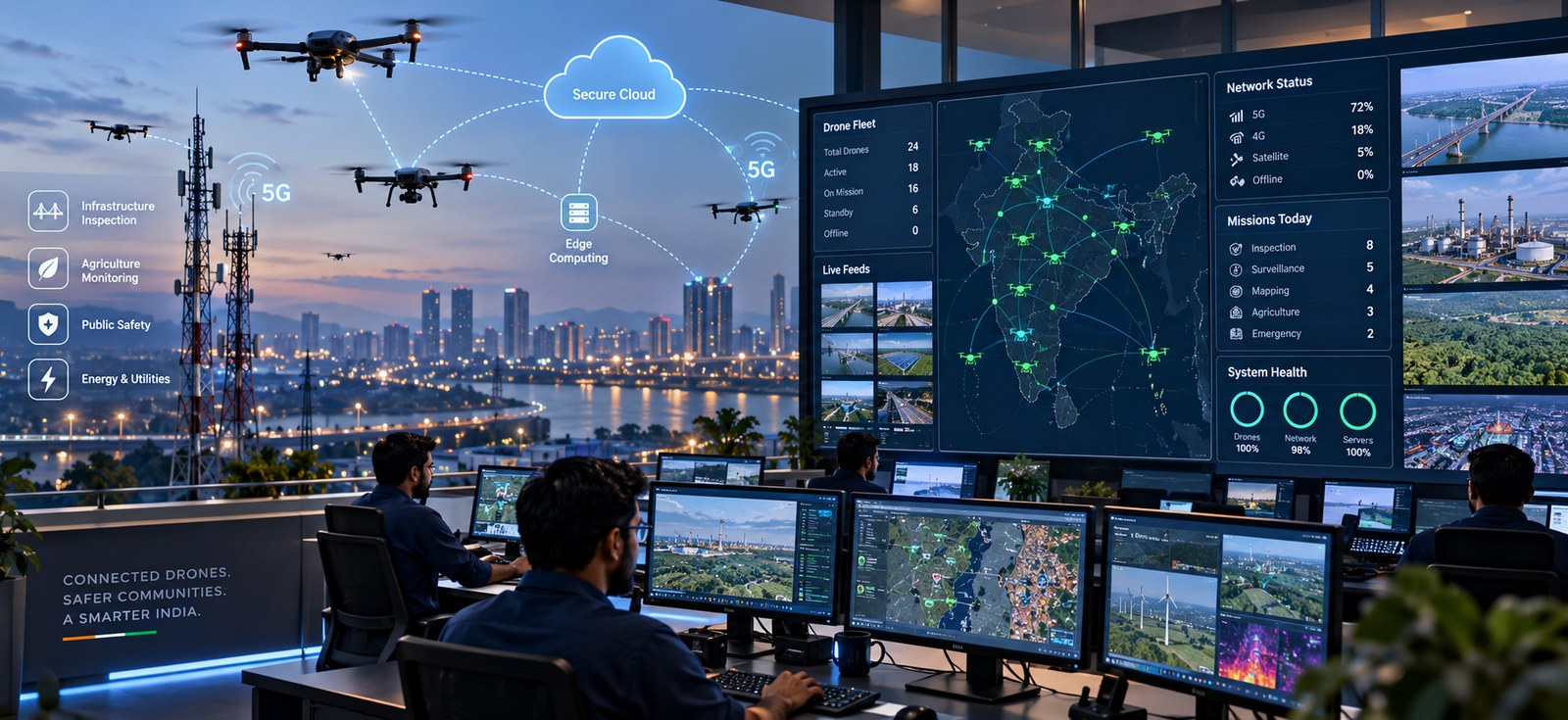
A comprehensive overview of Drone-in-the-Cloud: How Operators Control and Monitor Fleets Remotely detailing architecture, practical implications, and key i...
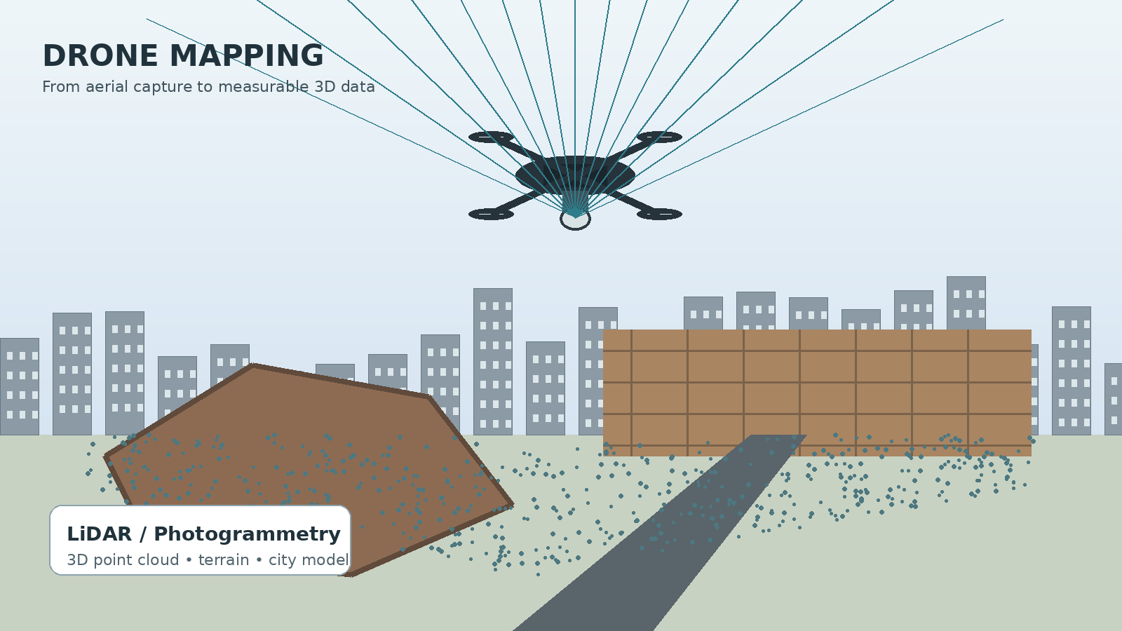
Drones mapping is turning aerial photographs and LiDAR data into measurable 3D models for cities, mines, construction sites and infrastructure.
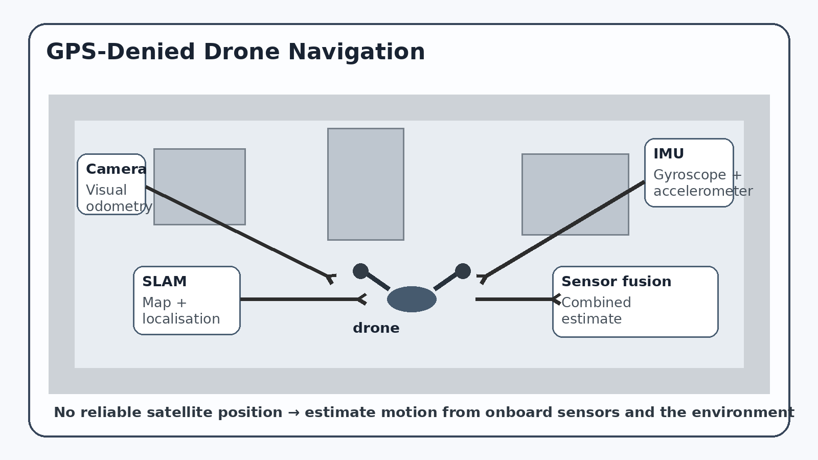
What happens when a drone loses GPS? Cameras, inertial sensors and SLAM help it estimate its position when satellite navigation becomes unreliable.