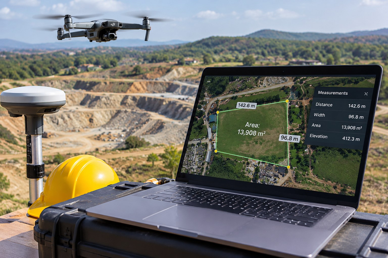
Two survey crews can fly over the same plot and still take different routes to a reliable map. One may use RTK corrections while the drone is in the air. The other may record GNSS observations and correct them later with PPK. Both methods improve the camera positions attached to the photographs. The practical difference is when the corrections happen—and what the crew must carry, check and process.
A site example: surveying a new warehouse plot
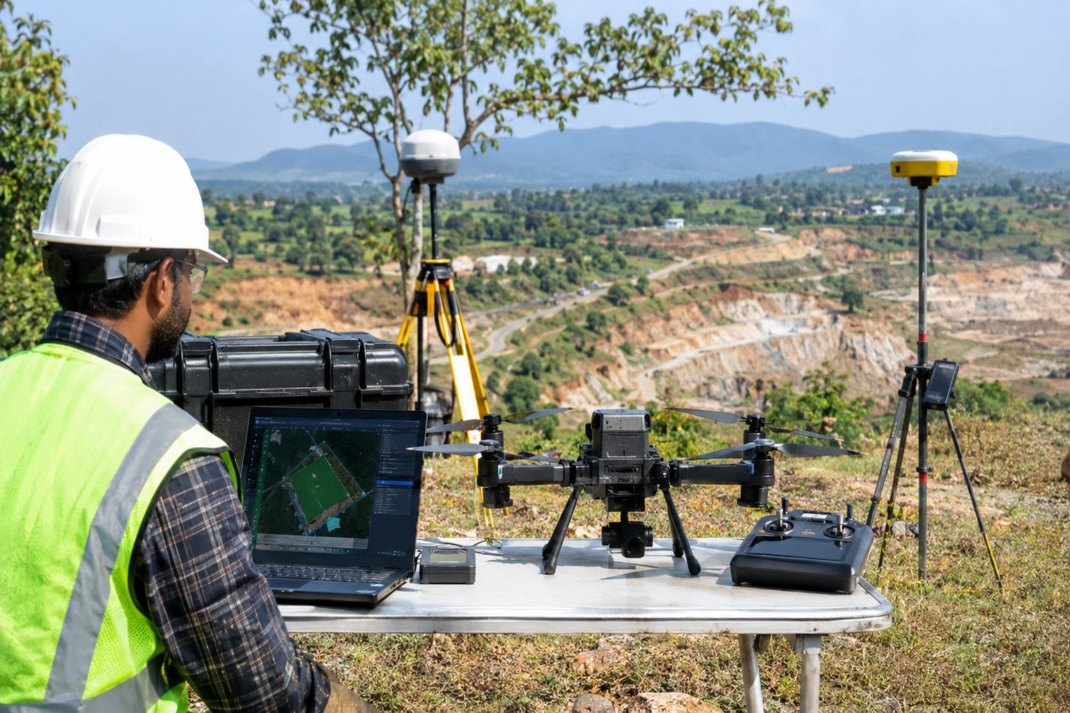
Picture a survey crew on a 12-hectare warehouse site. The engineer wants an orthomosaic and surface model before earthworks begin. Most of the plot is open, but trees line one boundary and the mobile signal drops in that corner. That small site detail may influence the RTK-versus-PPK choice more than a headline accuracy claim.
RTK and PPK can both support centimetre-level image positioning when the equipment, base data, satellite conditions and processing are suitable. Neither method guarantees that the finished map itself will be centimetre-accurate. [1][2]
RTK: corrections arrive during the flight
RTK means Real-Time Kinematic positioning. A reference receiver at a known point—or a network correction service—sends live GNSS corrections to the drone. The aircraft applies them while flying and records corrected camera positions with the images. The crew can monitor whether the solution is fixed and whether the correction link is healthy. [1][2]
An RTK kit may include an RTK-capable drone, compatible base station or network RTK subscription, controller, radio or internet link, and a correctly established base coordinate. The team sets up the base, confirms the coordinate reference system, checks the correction stream and verifies the drone is receiving corrections.
The advantage is a shorter positioning workflow after landing: image coordinates are already corrected, so imagery can move into photogrammetry processing after normal checks. The weakness is dependence on a live correction link. If the link drops or the solution degrades, the crew must inspect the logs and confirm which images have valid positions. [1]
PPK: corrections are calculated after the flight
PPK means Post-Processed Kinematic positioning. The drone and a reference receiver record raw GNSS observations during the mission. After landing, software combines the drone observations with base-station or reference-network data and calculates corrected camera positions. Corrections are applied later, not streamed to the aircraft. [1][3]
A PPK kit needs a drone that records compatible raw GNSS observations, a base receiver or suitable reference data, known base coordinates, data storage, PPK software and a computer. The crew can fly without a live correction link, but must protect both raw datasets and complete the processing step afterwards.
PPK suits remote sites with unreliable mobile or radio coverage, or projects where the surveyor wants the option to reprocess the observations later. It is not equipment-free: missing base observations, incorrect time settings or an uncertain base coordinate can undermine the result. [1][3]
Equipment and workflow: what changes?
RTK field kit: RTK-capable drone, compatible base station or network RTK service, controller, correction link, correctly established base coordinate, batteries and field log.
PPK field kit: drone that logs raw GNSS observations, compatible base receiver/reference data, known base coordinates, data-storage plan, PPK software and workstation.
RTK sequence: establish base/network → confirm fixed solution → fly → check position status and logs → process imagery → validate with independent checkpoints.
PPK sequence: establish and survey base → log base observations → fly while drone logs raw GNSS → save both datasets → run PPK processing → export corrected image positions → process imagery → validate.
Which would the warehouse survey team choose?
If the site has reliable network coverage and the client needs a quick field decision, RTK may be more convenient. If the live link is likely to be interrupted, or the surveyor wants to preserve raw observations for later reprocessing, PPK may be the better fit. Some systems support both as complementary workflows. [1][2]
Do not choose only by the advertised centimetre figure. Confirm the coordinate reference frame, how the base position is established, whether raw observations are logged, how camera-event timing is handled and what happens if the RTK solution is float or lost.
The final accuracy check still matters
RTK or PPK improves camera positioning; it does not repair blurred images, weak overlap, poor camera calibration, bad control coordinates or an unsuitable flight plan. Keep surveyed checkpoints out of the adjustment process and compare the final map against them. A checkpoint used to fit the model is not an independent check. [2][4]
For the warehouse plot, distribute control and check points across the site, including edges and elevation changes where practical. Report horizontal and vertical residuals separately, identify the coordinate system and height reference, and state the validation method. USGS guidance stresses control quality, distribution, camera calibration and independent checks. [2]
The takeaway
In plain terms, RTK is the live-correction option; PPK is the correct-it-later option. RTK can make the field-to-office handover quicker when the connection behaves. PPK is attractive when that connection cannot be trusted, but it leaves more work for the office. Choose after considering site conditions, equipment, delivery deadline and how you will verify the finished map—not just the centimetre figure in a brochure.