How to Organize and Share Drone Photos with Contractors
Sending a messy cloud link full of randomly named camera files frustrates contractors and slows down decisions. When people open dozens of generic files, they can’t tell which angle shows which area. They waste hours sorting through them. A better way is to share a folder with a clear structure, standard dates, numbered files, marked-up pictures and a short summary report. That turns raw files into useful site records. Good file organization keeps everything easy to read and keeps the evidence safe.
Build a clear folder structure and date style
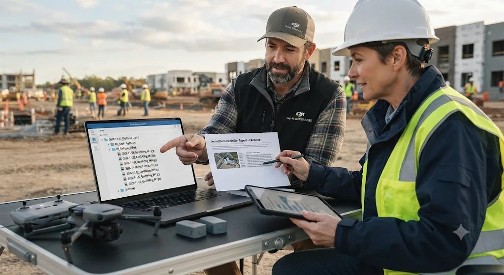
Start every delivery by putting the files in a main folder named with the project title and an ISO date, like 2026-11-20_SiteName_Aerial. The YYYY-MM-DD format keeps folders in the right order by date on any computer. Inside it, make separate subfolders by file type and camera angle. Some good examples are 01_Nadir_TopDown, 02_Oblique_45Deg, 03_Annotated_Copies and 04_RAW_Archive.
Keep small 8-bit sRGB JPEG previews apart from the big 12-bit DNG or RAW files. That way, contractors on slow mobile connections at the job site don’t have to download gigabytes of uncompressed data. It saves time, cloud storage fees and mobile data.
Number the images and keep the metadata
A camera’s own counter often restarts after you change the battery or format the memory card. That causes gaps and files with the same name. Rename every image in one batch with the same pattern, using the date, a zone code and a three-digit number, like 2026-11-20_NorthWing_001.jpg.
Keep the original camera EXIF data inside every file. It lets engineers check the exact GPS location, altitude in meters, focal length and time of capture. Following file-naming guidelines from the Federal Agencies Digital Guidelines Initiative, don’t use spaces or special characters in filenames. Simple filenames stop links from breaking when mapping scripts or project software read the folder.
Add marked-up pictures without touching the originals
Contractors rarely have time to match separate notes with photos when they look at roof damage, trench lines or piles of material. Copy your clearest JPEGs into the annotated folder. Then export lossless PNG or high-quality JPEG versions with bold arrows, boxes and short labels.
On straight-down views, add a north arrow and a scale bar so field crews can find their way quickly. Never save marks over the original camera files. Structural engineers, auditors and insurance adjusters need the unchanged pixels and the intact EXIF data to check site conditions and measurements.
Write a one-page summary report
Put a short drone inspection report as a PDF in the main folder, so busy people can understand the delivery in two minutes. Include the flight date, wind and light conditions, camera resolution, ground sampling distance, flight height in meters and your airspace permission reference from the DGCA Digital Sky Platform. Add a table that matches each numbered filename to its compass direction and what the photo shows, like water pooling along the east edge.
A clean workflow with organized folders, standard dates, marked-up pictures and a short report means fewer follow-up questions and more trust from the client.