GPS is useful, but it is not the whole navigation system
Many consumer and enterprise drones use satellite positioning to estimate where they are. Remove that signal, however, and the aircraft does not simply stop knowing how to fly. Modern navigation systems can combine several onboard measurements to estimate motion and position. The challenge is that every alternative has limitations, so reliable GPS-denied flight is usually a sensor-fusion problem rather than a single replacement for GPS.
Research reviews describe inertial measurement units, or IMUs, as a core source of motion information, while also noting their tendency to accumulate drift. An IMU can tell the flight controller how the aircraft is accelerating and rotating, but small measurement errors add up over time.
What an IMU actually does
An IMU contains tiny sensors that measure acceleration and rotation. The flight computer uses these measurements many times per second to estimate the drone attitude—whether it is pitching, rolling or yawing—and how its motion is changing.
The problem is drift. If the system estimates movement only by continuously adding small measurements, even a small bias can gradually produce a large position error. This is why IMUs are normally combined with other sensors rather than used alone for long GPS-denied flights.
Cameras can estimate movement from the scene
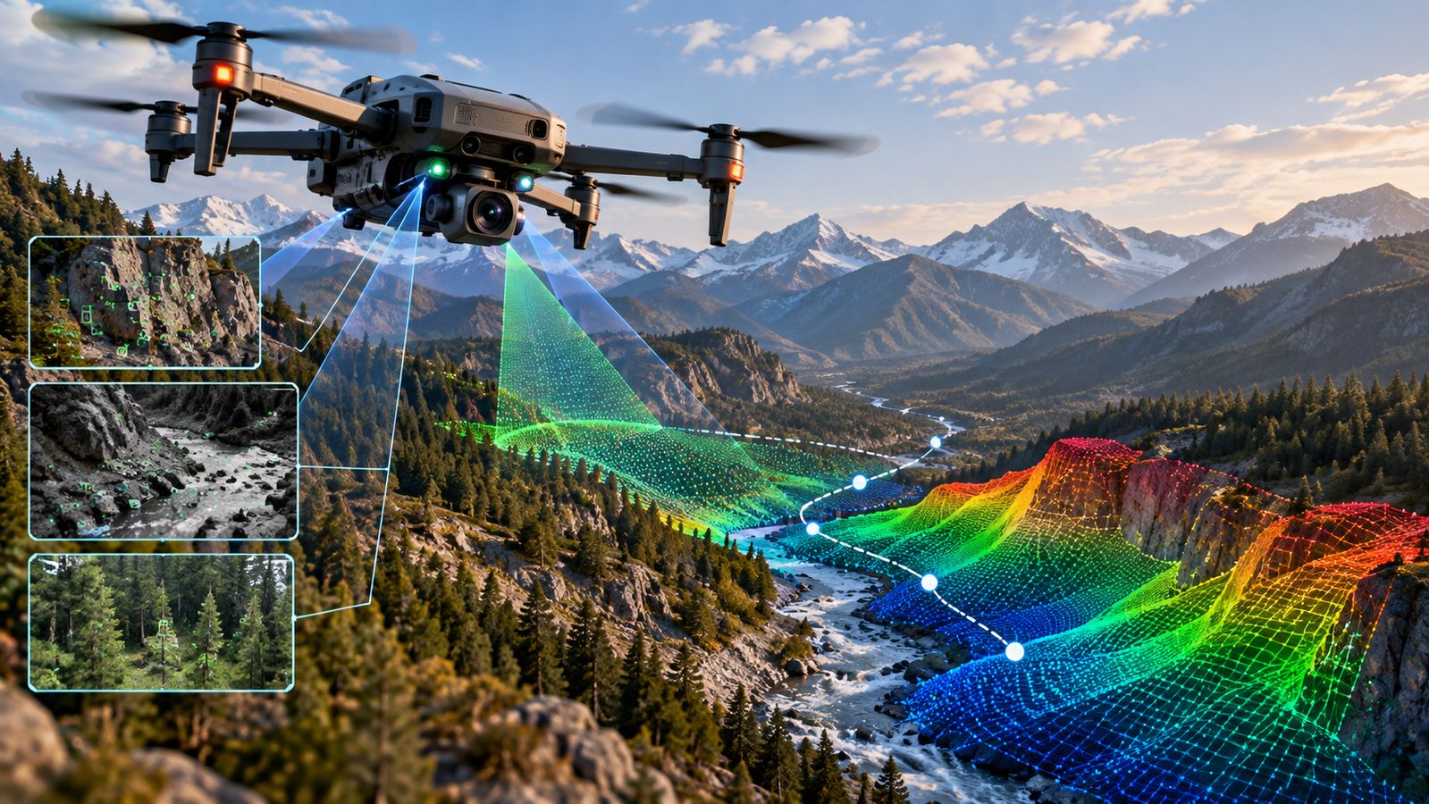
Visual odometry is one way to correct that drift. The drone camera looks at features such as rocks, walls, trees or ground texture and tracks how those features move between frames. From that change, software estimates how the aircraft itself has moved.
A related technique is visual SLAM—simultaneous localisation and mapping. Instead of only estimating movement, the system builds a map while estimating the drone position within that map. Research reviews identify visual navigation and SLAM as important approaches for UAVs operating where satellite navigation is unavailable.
This approach works best when the camera has enough useful visual information. Darkness, glare, fog, dust, repetitive surfaces or a nearly featureless landscape can make visual tracking harder.
LiDAR and terrain matching add another layer
LiDAR can provide depth by measuring the time taken for laser pulses to return from surfaces. That gives the aircraft a three-dimensional view of nearby terrain and obstacles. Terrain-matching systems can also compare what a drone observes with an existing elevation model or map.
These techniques can help in valleys, forests, urban environments or other areas where satellite signals are blocked or unreliable. But they require computing power, suitable sensors and algorithms that can keep up with the aircraft movement.
The hardest part is knowing when the estimate is becoming wrong
A GPS-denied drone can appear to fly normally while its estimated position is slowly drifting. Sensor fusion tries to reduce that risk by combining measurements from the IMU, cameras, LiDAR, barometer, magnetometer and other sensors. The flight controller can compare conflicting measurements and maintain a more stable estimate.
The limitations remain practical. A camera can struggle at night, LiDAR adds weight and cost, maps may be outdated, and terrain-matching algorithms need enough recognizable terrain. Communication loss can create another problem because the operator may not be able to intervene quickly. For remote operations, a robust system therefore needs not only navigation algorithms but also conservative flight planning, obstacle detection and clear failsafe behaviour.