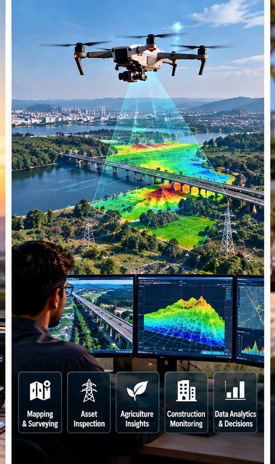
A drone flight can produce thousands of photographs in less than an hour. By themselves, those files are rarely the finished product. The business value appears when software turns the images and sensor readings into information that a surveyor, engineer, farmer, project manager or maintenance team can actually use.
From photographs to a measurable map
In mapping work, overlapping drone photographs can be processed using photogrammetry. The software identifies common features in multiple images and uses them to reconstruct their positions in three dimensions. The output can include an orthomosaic—an aerial image corrected so it can be used like a map—and elevation models or 3D point clouds.
India’s geospatial guidelines explicitly recognise UAV photogrammetry, UAV LiDAR and drones as geospatial technologies. They also distinguish positional data from attribute data and set rules around sensitive attributes and high-accuracy datasets.
Measurements are where the data becomes operational
A construction company may use repeated drone surveys to measure stockpiles, compare excavation volumes or document progress. NHAI has mandated monthly drone-video recording for highway projects, with current and previous footage compared and incorporated into digital progress reporting. The important step is not the video itself; it is the comparison that helps a project team identify changes or discrepancies.
In a mining or quarrying operation, the same workflow can estimate material volumes. In infrastructure inspection, high-resolution imagery can help identify visible defects for engineers to review. The drone supplies the observations; specialised software and domain expertise turn those observations into measurements and findings.
Agriculture needs patterns, not just pictures
A crop image becomes more useful when it is tied to location, time and a measurable indicator. Multispectral sensors can record bands of light beyond ordinary visible colour, allowing software to calculate vegetation indices and highlight differences in crop condition. The resulting map can help a farm team decide where to inspect, irrigate, fertilise or investigate a problem.
India is already combining drones with remote sensing, GIS, AI and other technologies for crop monitoring. ICAR’s precision-agriculture programme is developing sensor and remote-sensing approaches for crop and soil monitoring.
Inspection reports need a human in the loop
It is tempting to describe drone analytics as automatic fault detection, but most professional workflows still depend on people who understand the asset. Software can flag a heat anomaly or a visual change; an engineer decides whether it is actually a problem and what action should follow. The same applies to crop analytics: a map can identify an unusual patch, but field verification may still be needed.
The business value comes from repeatability
A useful drone programme creates comparable datasets over time. The same site can be surveyed each month, with consistent flight plans, ground control, camera settings and processing methods. That makes change easier to quantify. It also creates an audit trail that can support project reporting, maintenance planning or dispute resolution.
But accuracy is not automatic. Weather, lighting, image overlap, GNSS quality, sensor calibration and processing choices can affect results. A beautiful aerial image is not necessarily a survey-grade measurement. Businesses buying drone services should specify the required accuracy, coordinate system, deliverables, inspection criteria and data-handling requirements before the flight begins.
The drone is only the first step
For a company, the useful output might be a map, a quantity estimate, a defect list, a crop-health layer or a maintenance work order—not a folder of JPEGs. That distinction explains why drone businesses increasingly combine pilots, surveyors, engineers, analysts and software. The aircraft captures data quickly; the value comes from converting that data into a decision someone can act on.