From spraying to seeing what is happening in the field
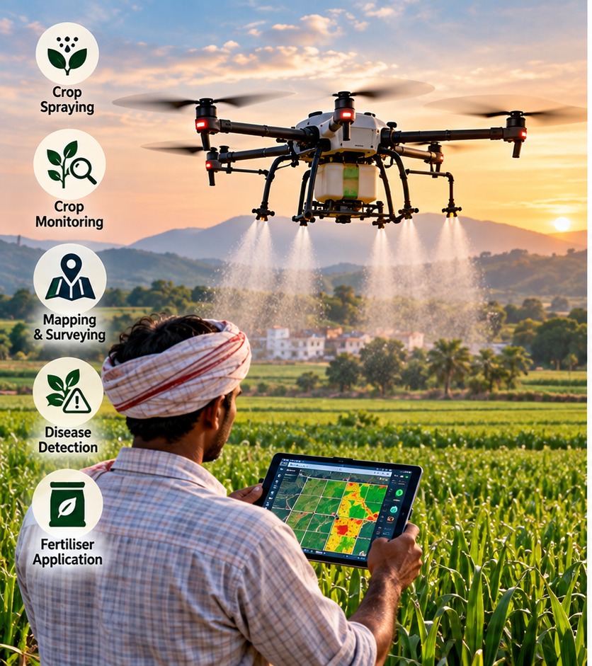
Agricultural drones are often associated with pesticide spraying, but the technology has a wider role. A drone carrying a spray tank can apply liquid inputs over a crop, while a camera-equipped aircraft can capture images for crop monitoring, mapping and identifying areas that need attention.
The distinction matters because spraying is an operational task, while monitoring is mainly a data task. A spraying drone may help cover a field quickly and reduce the time workers spend carrying equipment through crops. A mapping drone can create an aerial record of the field, which can then be analysed for crop condition, gaps, water stress or other patterns.
The Indian government and ICAR are already using drones alongside satellites, remote sensing, GIS and AI as part of broader precision-agriculture programmes. That means drones are becoming one layer in a larger farm-data system rather than a replacement for conventional farm machinery.
Can drones actually reduce chemical and fertiliser use?
There is evidence that drones can reduce wastage when the application is properly planned. The Department of Agriculture has highlighted high atomisation, ultra-low-volume spraying and more targeted application as reasons drones can save pesticides, fertilisers and water compared with some conventional methods.
ICAR demonstrations have also reported practical gains. An ICAR-NBAIR demonstration described precision spraying as a way to reduce chemical use and application costs, while noting that drone spraying can be useful in tall or difficult-to-access crops. In 2026, the government reported an ICAR precision-agriculture result in which drone-based foliar nutrient application improved crop yields by 4–5%, reduced spraying costs by about 15%, and covered an acre in roughly six minutes using 9.5 litres of water and 0.5 litre of nano-fertilizer.
These are specific programmes and reported results, not a guarantee that every farm will see the same savings. Chemical dose, crop canopy, nozzle settings, weather, operator skill and the product being applied all affect the outcome.
Crop monitoring and disease detection are a different use case
A drone can collect repeated images from the same field, making it easier to spot changes that are difficult to see from ground level. Multispectral or other specialised cameras can capture information beyond ordinary photographs, while mapping software can turn overlapping images into a field map.
Disease detection is more complicated. An image may show an unusual patch, but identifying the exact disease usually requires trained models, agronomic knowledge or field verification. A drone can therefore be useful for finding where to inspect rather than automatically deciding what treatment is required.
This is where India's broader precision-agriculture work matters. ICAR's national precision-agriculture network combines sensors, remote sensing from ground, drone and satellite platforms, AI and other digital tools for monitoring crop and soil health. Drones can supply detailed local observations that complement wider-area satellite information.
The small-farmer problem: ownership is not always the answer
A professional agricultural drone is an expensive asset, and a small farm may not generate enough work to justify buying, maintaining and operating one. Batteries, charging, transport, pilot training, insurance, repairs and compliance add to the cost.
India's policy response has increasingly included shared-service models. The Namo Drone Didi scheme provides drones to selected women Self Help Groups so they can offer rental services to farmers. Government guidelines have also supported Custom Hiring Centres, Farmer Producer Organisations and other service providers.
This model can make more sense for small farms: farmers pay for a job instead of owning the aircraft. But the service still has to be available at the right time, cover the right crops and be priced competitively against manual or tractor-based operations.
What drones cannot solve on their own
Weather remains a major constraint. Wind can affect spray drift and coverage, rain can interrupt operations, and battery endurance limits how much land can be treated in one sortie. Terrain, tree cover, power lines and the shape of small or fragmented fields can also complicate operations.
There are regulatory and safety requirements as well. Agricultural spraying is a specialised drone operation, and India has published operating procedures for pesticide and nutrient application. The operator must also use the aircraft and equipment appropriately and follow applicable aviation and agricultural requirements.
The practical conclusion is less dramatic than the marketing pitch: agricultural drones are useful tools when the job is well defined. They can make spraying faster, reduce worker exposure, support more precise input application and generate valuable field data. For many small farmers, however, the important innovation may be access to a reliable drone service—not ownership of a drone.