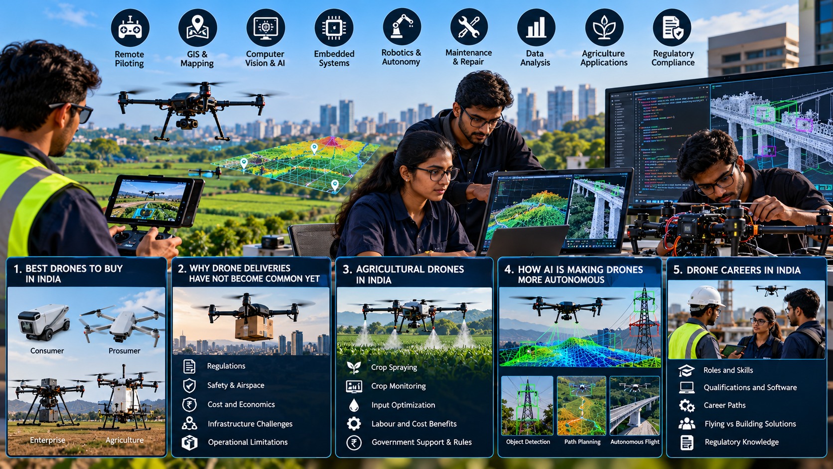
Flying a drone is only the starting point
A drone career is not necessarily a pilot job. Flying is one part of a wider system that includes aircraft hardware, sensors, software, maps, data, maintenance and regulation. India’s drone ecosystem now includes manufacturers, service companies, training organisations, software and component developers, research institutions and government programmes. In February 2026, the government reported more than 38,500 registered drones, 39,890 DGCA-certified remote pilots and 244 approved training organisations. [1]
That creates several entry points. Someone who enjoys fieldwork may fit remote piloting or drone operations. An engineering graduate may work on flight controllers, embedded electronics or robotics. A geography or surveying graduate may move toward GIS and photogrammetry. A computer-science graduate may work on computer vision, autonomy or data pipelines.
Remote piloting and drone operations
A professional remote pilot needs more than joystick control. DGCA guidance covers airspace, flight planning, weather, aircraft performance, maintenance and emergency procedures. Current DGCA guidance also says pilots should check airspace on Digital Sky, follow the applicable Remote Pilot Certificate requirements and conduct pre-flight checks.
Useful skills include flight planning, safe take-off and landing, battery management, basic troubleshooting, mission execution and documentation. For regulated remote-pilot work, candidates should use a DGCA-authorised Remote Pilot Training Organisation and verify its current authorisation and scope before enrolling. Training requirements are tied to the applicable aircraft category and class.
GIS, mapping and data: where many drone jobs begin
A drone becomes commercially useful when its images can answer a question. GIS and mapping professionals turn aerial photographs into orthomosaics, elevation models, measurements and maps. The workflow can involve mission planning, ground control, image processing, coordinate systems and quality checks.
Useful software can include QGIS or ArcGIS for GIS, photogrammetry platforms such as Pix4D or Agisoft Metashape, and spreadsheets or Python for data processing. The exact software varies by employer, so understanding the workflow is more important than collecting certificates for every tool.
This is also relevant to agriculture. Government programmes now combine drones with remote sensing, GIS, AI, sensors and IoT for crop monitoring, crop-health assessment and precision input application. Agricultural roles can therefore sit between flying, agronomy, mapping and data interpretation.
AI, computer vision and embedded systems
As drones become more autonomous, they need people who can build and test the systems behind autonomy. Computer-vision engineers work on object detection, image classification, tracking and visual navigation. Robotics engineers work on planning, localisation and control. Embedded engineers integrate sensors, processors, communication links and motor-control systems.
Typical foundations include Python and C/C++, Linux, electronics, control systems, sensors and machine-learning concepts. Tools such as OpenCV, PyTorch or TensorFlow can help in computer-vision work, while robotics candidates may encounter ROS or ROS 2 and simulation environments. A working project can demonstrate these skills better than a list of certificates: for example, a mapping pipeline, vision model, sensor-integration project or autonomous-navigation experiment.
Maintenance, agriculture and regulatory compliance
Drones are machines, so they need people who can keep them reliable. Maintenance roles involve batteries, motors, propellers, wiring, flight-control hardware, sensors, firmware and inspection procedures. Systematic fault diagnosis is often more valuable than simply knowing how to replace a component.
Agriculture adds another layer. An agricultural-drone professional needs to understand the crop problem as well as the aircraft. Useful skills include mission planning, crop scouting, imagery interpretation, application planning and equipment maintenance.
Regulatory knowledge cuts across these roles. India’s framework includes the Drone Rules, 2021 and the Drone (Amendment) Rules, 2022, while DGCA publishes operational and training guidance. Because rules and procedures can change, professionals should use current DGCA and Ministry of Civil Aviation material rather than old course notes or social-media advice.
What qualifications should a beginner build?
There is no single degree for the drone industry. A remote-pilot path can begin with authorised training and the applicable certificate requirements. GIS roles may favour geography, surveying, geomatics or related education. Engineering roles commonly draw from electronics, electrical, mechanical, aerospace, computer science, robotics or mechatronics. AI and data roles benefit from computer science, data science, mathematics or engineering.
India is also expanding formal skilling routes. In March 2026, the government reported 25,791 candidates trained in drone-technology job roles under PMKVY by the end of 2025, and DGT had introduced Drone Pilot (Junior) and Drone Technician trades. [2] The SwaYaan project includes formal and non-formal training, research and capacity-building across drone electronics, guidance-navigation-control (GNC), aeromechanics, drone applications and allied UAS technologies.[3]
The key distinction is between flying a drone and building a solution. A pilot collects imagery; a mapping specialist turns it into a survey. A technician repairs an aircraft; an engineer can redesign a subsystem. A programmer writes an algorithm; a robotics team integrates it with sensors and flight control. Strong drone careers connect the aircraft to a real problem in infrastructure, agriculture, mapping, logistics, public safety or research.