Eyes on the Water: Can Robots Help Stop Flood Damage Before It Starts?
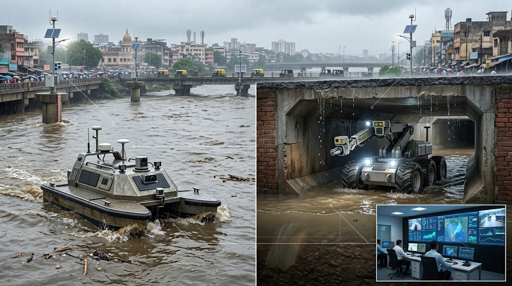
Drones, floating robots and drain sensors can show where water is rising and where drains are failing. They mostly warn and survey, and weather, battery life and coverage limit them when floods peak.
Robots rarely stop a flood. What they can do is spot trouble earlier, map it faster and reach places people cannot. That makes them tools for warning and targeted maintenance, not defenses. In 2026, research is testing this on rivers, drains and flooded streets, mostly in small studies and prototypes.
Monitoring Water Levels Automatically
The simplest "robots" are fixed sensors. A 2026 paper in Procedia Computer Science describes a prototype that uses ultrasonic sensors in drains to detect water levels and send Telegram alerts when thresholds are crossed. It also includes a solenoid valve and pump that automatically control flow to reduce risk. An industry guide from AWARE Monitoring Systems, a sensor vendor, says IoT flood sensors measure level, flow and pressure and trigger automated alerts, and that AI models now combine sensor data with rainfall forecasts and terrain models to produce probabilistic forecasts. That is a vendor claim.
Drones and Surveying
Drones fill gaps that satellites cannot. A May 2026 article in the Bulletin of the American Meteorological Society notes that satellite imagery is often unavailable because of cloud cover or limited overpasses, while small drone imagery is inconsistent and spatially limited. The authors used larger Group 3 uncrewed aircraft to collect near-real-time multispectral imagery to determine where surface water had spread. They did not cover flash floods, since staging equipment took too long to capture them.
A Sustainability paper on Typhoon Hinnamnor in Gyeongju, Korea, validated drone monitoring of a real urban flood. It found drones captured real changes in extent, depth and location, complementing simulations, but the study covered only one event. A vendor, ideaForge, adds that drones can pinpoint clogged or partially blocked stormwater channels, which is a company claim.
Floating and Deployable Robots
Rivers can be dangerous for crews. An October 2026 arXiv paper describes AeroBuoy, a 3D-printed autonomous buoy that a drone can deploy in remote, hazardous rivers. It measures water temperature and could carry sonar or turbidity sensors. The authors note that autonomous boats have maneuverability shortcomings, and that river currents and debris make sensor-based navigation unpredictable. A separate arXiv paper proposes controlling a swarm of drones to cover a flood-affected region, noting that satellite monitoring lacks real-time capability and ground-level detail, and that single-drone monitoring has limited efficiency and coverage.
Limits of Robotic Flood Response
The Association for Drones' July 2026 flood mapping guide lists heavy rain, strong winds, poor visibility, water reflections, battery endurance, restricted airspace and damaged communications among the obstacles. A review of 178 drones from 63 manufacturers, in a GIS-based study of flood imaging, found most had 30 to 40 minutes of endurance and 5 to 10 km of range, so drones alone cannot cover large floods and deployment must be prioritized.
Measuring depth is harder than mapping extent. A Hydrology paper explains that photogrammetry and most LiDAR cannot see through water, except green LiDAR, so depth is mostly calculated for floodwater outside the main channel. The BAMS authors add that the NDWI water index gives false positives over roads and roofs and struggles with sediment-heavy water, which is common in floods.
I found no study showing that robotic monitoring prevented flood damage. The evidence supports earlier warning and better surveys. Whether that reduces losses depends on how quickly people act on the data.