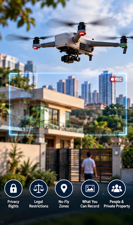
A drone rule is not the same thing as a privacy permission
India’s Drone Rules regulate the aircraft and its operation: registration, certification, remote-pilot requirements, airspace and safety. They do not create a simple rule saying that anything visible from the air is automatically free to record. DGCA guidance also tells pilots to check airspace, maintain visual line of sight and keep a safe distance from people and property.
Privacy can involve other legal frameworks. India’s Digital Personal Data Protection Act, 2023 concerns digital personal data and obligations around its processing, while the Digital Personal Data Protection Rules, 2025 were notified by MeitY with a staged commencement framework. A drone image that identifies an individual can therefore raise data-protection questions depending on how the information is collected and used. This is different from saying that every aerial image is automatically regulated in the same way.
Public space does not mean unlimited surveillance
A drone flying over a public road may legitimately capture people incidentally while recording traffic, construction progress or an emergency scene. But deliberate close-up monitoring of identifiable people is a different use case. A practical privacy approach is to collect only what the assignment needs, avoid unnecessary close-ups, restrict access to raw footage and define how long the material will be retained.
Geospatial rules allow broad collection and processing of geospatial data, but they do not give an operator a right to physically access restricted premises. The Department of Science and Technology’s guidelines also provide for regulation of sensitive attributes. Freedom to create maps is therefore not a blanket permission to enter, interfere with or ignore restrictions around a particular site.
Consent is useful—but not the only privacy safeguard
For commercial shoots on private premises, getting the owner or occupier’s permission is a straightforward risk-control measure. For operations involving identifiable people, organisations should also consider whether the purpose requires identification at all. Faces can sometimes be blurred; unnecessary audio can be excluded; and access to original files can be limited to the people who need them.
For public-interest work, consent may not always be practical. Disaster response, infrastructure inspection or news gathering can involve people who cannot reasonably be asked one by one. That makes purpose, proportionality, security and retention more important—not less. Operators should document the reason for the flight and the handling of sensitive footage.
The privacy risk continues after the drone lands
The biggest mistake is to treat privacy as only a flight-path issue. Drone footage can be copied to laptops, cloud storage, editing systems and client databases. A map may reveal the layout of a home or facility even when no person is visible. A timestamp and location can add further information. Businesses therefore need basic data controls: secure transfer, access permissions, sensible retention periods and a process for deleting material that is no longer required.
A useful test for responsible aerial recording
Before a flight, ask four questions: Is the operation legally permitted in this airspace? Is the recording necessary for the stated job? Could the same result be achieved with less personal information? And who will receive or retain the data? Those questions do not replace legal advice, but they provide a practical way to separate legitimate aerial data collection from indiscriminate surveillance.